- September 28, 2022
Learn more about Craig's research in Leh, India!
Craig Martin (PhD Earth, Atmospheric, and Planetary Sciences '23) is part of a team of MIT students who traveled back to India this summer to collect samples and conduct detailed geological mapping of the Himilayas. Craig led the research team alongside Professor Oliver Jagoutz (MIT Professor of Geology) and worked with team members: Zoe Levitt (B.S. Earth, Atmospheric, and Planetary Sciences '22), Kate Przydzial (B.S. Earth, Atmospheric, and Planetary Sciences '23), and Lucy Sandoe (M.S. Geophysics '25). Read the interview below to learn more about Craig's summer!
Can you tell us about your research project?
The Himalaya were uplifted by the continental collision between India and Asia. This collision followed the closure of a huge ocean that existed between India and Asia called the Neotethys. In my research I study the rocks of the Himalayan mountains to try to understand the sequence of tectonic events that preceded the final continental collision. During fieldwork expeditions in the Himalayas I study the rocks in-situ and make geological maps to understand what different rock formations are present and how they are situated with respect to one another. I build a timeline of when the different rocks formed by measuring their precise age back in the lab at MIT using the radioactive decay of Uranium to Lead inside an accessory mineral called zircon. I also use the magnetic record preserved inside tiny magnetite minerals in volcanic rocks and sedimentary rocks to make maps of where the continents were millions of years ago. These techniques help me rewind plate tectonics back tens of millions of years to see how the spectacular mountains of the Himalaya were made.
What did a typical day in the field look like?
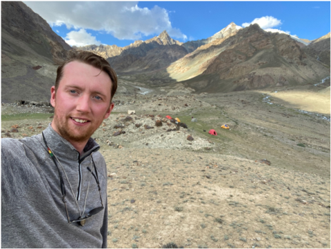
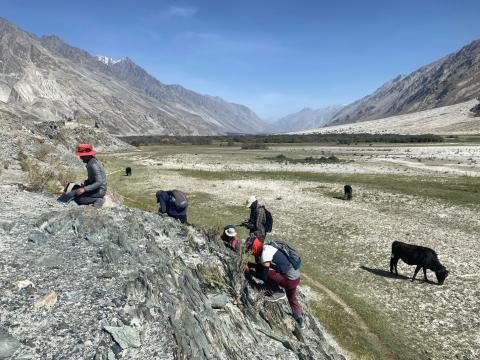
In a typical day I would get up from my tent, or in a local homestay, enjoy a milk tea and some breakfast before heading out for the day. Before setting off I would use a digital geologic map database in a sturdy field-computer to target some rock exposures that would be informative to answer a big picture hypothesis I am interested in testing. Throughout the day at each rock outcrop I made detailed notes and sketches of the rocks, took measurements of the strata using a special kind of compass, and also collected samples using hammers and chisels. For magnetic study it is really important that samples are oriented carefully and not contaminated by magnetic objects, so for these samples I collected very precisely oriented drill cores using a diamond edged coring drill and non-magnetic brass tools. At the end of the day I would always make time to relax and enjoy the spectacular scenery as the sun sets in the mountains.
Where did you visit and how did you get around?
The field area I worked in is in Ladakh at the northern tip of India. It is an area roughly the size of Massachusetts up against the Karakoram range that borders India, China and Pakistan, and it is accessible by driving over the Khardung-La pass. It is the confluence of the Nubra and Shyok rivers and is extremely rugged terrain ranging between valley level at around 10,000 ft and mountain tops as high as 23,000 ft. To get around I would use local drivers who know the roads very well and when the roads run out I would trek up mountain valleys on the narrow trails etched into the cliffs. Sometimes I would hire porters and/or donkeys for longer trips and spend up to a week camping and exploring the geology in the remote valleys.
Can you tell us about working with your Indian counterparts?
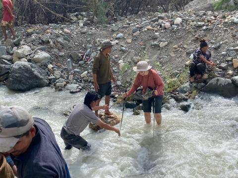
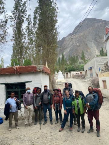
I worked with a wonderful group of collaborators from Kumaun University in Nainital, Uttarakhand. They each had expertise in different fields of the geosciences and we were able to discuss the details of what we had seen each day from different perspectives. They were great fun in the field and it was awesome to work with them.
Did you encounter anything unexpected?
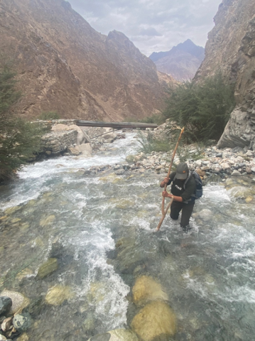
There is always something unexpected when doing remote fieldwork in India. In one instance we got trapped on the road to the border town of Turtuk by a major landslide that blocked the road back to the main Shyok river valley. This was a challenge but we were able to adapt and the next day they had the road open by bulldozing the rubble off the cliff into the river. The Border Road Organization in India are really remarkable. In another we were called on to report to the local border police office for questioning on what work we were doing, we were very apprehensive but the police officer made us tea and just wanted to chat with us about our work.
Out of the areas you traveled to, which was your favorite?
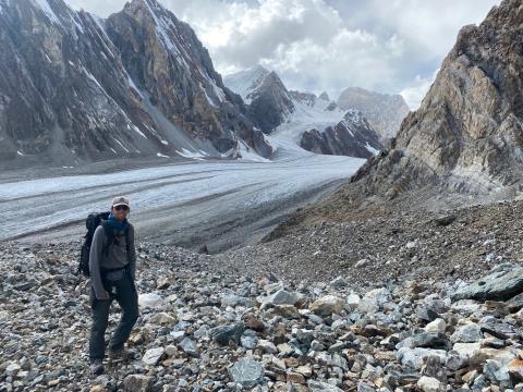
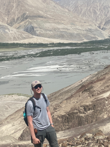
My favorite area was the spectacular upper Udmaru valley which we explored on a multi-day trekking expedition. It is a hanging valley that seems relatively small at its steep entrance but opens out into a huge broad glacial valley as you hike up into it. We camped next to a stream at 14,300 ft and were kept awake at night by yaks that would stumble through our camp. Our exploration of the valley took us up onto a glacier at 17,000 ft and allowed us to gleam some new and important insights into the geology of the region.
Any other updates you want to share!
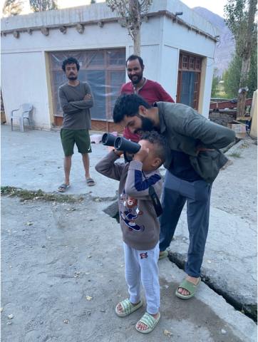
I hope to graduate with my PhD in the coming year and I am currently in the process of writing up all the findings I have made during the three MISTI summer internships I have spent in the Himalayas. The experiences and memories I have from the MISTI internships I’ve done will stay with me forever.
